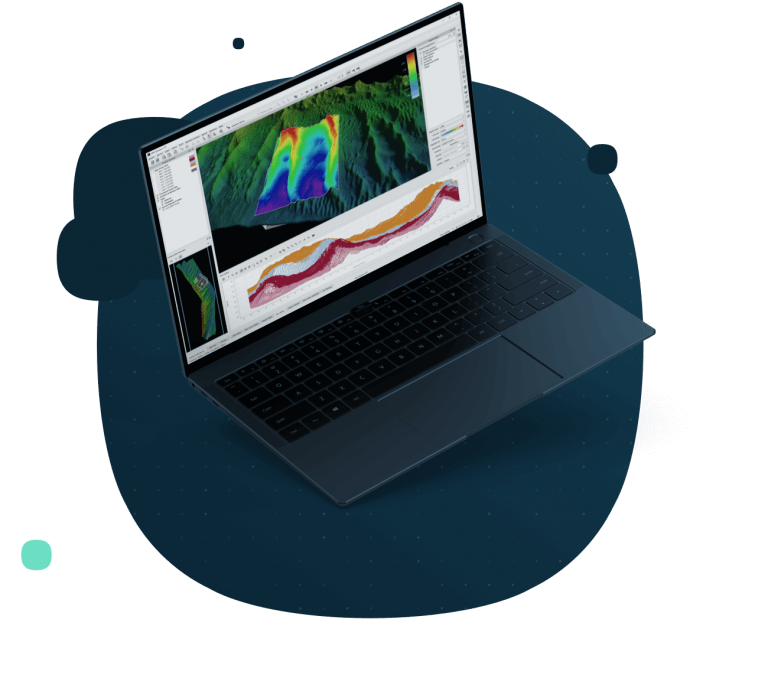

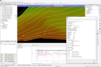
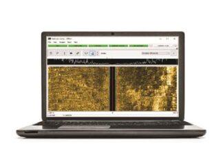
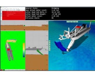
QPS Qimera: Multibeam Data Processing Software
Qimera aims to make hydrographic data processing as intuitive and as simple as possible, while still offering powerful capabilities to those that need them, without cluttering the workflow for those that don’t.
Features
Covers all major manufacturers for any survey platform, including surface vessels, ROV, AUV, and ASV.
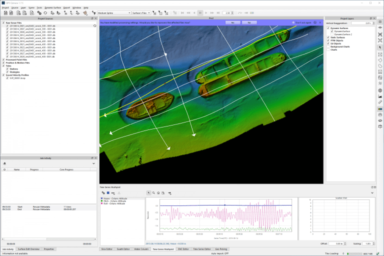
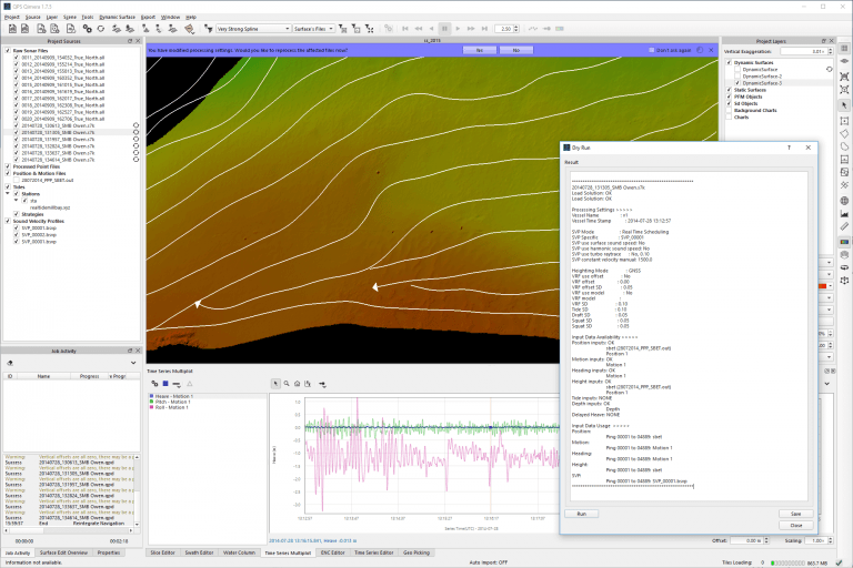
Includes editing, filtering, and cleaning for a wide variety of point cloud formats.
Rich data extraction allows for a “hands-off” data import and automatically generated vessel files.
Automated suggestions of the next logical user action, to guide personnel and eliminate human error.
Intelligent processing management to ensure the correct sequence of post-processing actions with a single click.
Specifications
“Hands-off” near-real time data processing and gridding.
Add-on for fast, accurate water-column processing for QINSy DB, Kongsberg ALL and KMALL, and Reson/Norbit S7K formats.
Add-on for seabed backscatter processing and mosaicking via Fledermaus Geocoder Toolbox.
Applications
Hydrographic data processing
Transcribing vessel configurations
Processing, analysing and visualising multibeam echosounder data
Processing of sonar data
-
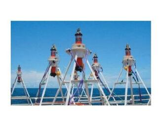
Sonardyne Compatt 6G®
Survey Equipment -
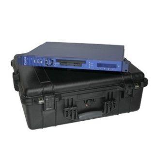
CodaOctopus DAseries™: Acquisition System
Survey Equipment -
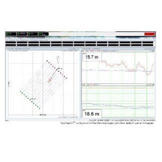
Geometrics MagLogLite™: Data Logger and System Controller
Survey Equipment -
HYPACK® SURVEY: Data Collection Software
Survey Equipment -
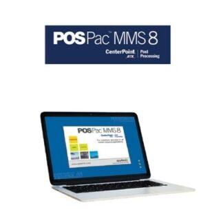
Applanix POSPac MMS® and Go!®: Hydrographic Data Processing Software
Survey Equipment -
Teledyne CARIS HIPS and SIPS™: Hydrographic Data Processing Software
Survey Equipment -
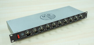
UG: Uni-PPS Splitter
Survey Equipment -
QPS Qinsy: Survey Planning, Acquisition and Processing Software
Survey Equipment