Innomar ISE Software

• Latest version ISE 3.xprocessing of all Innomar data formats, incl. SES3
• Handling of 16/24/32-bit and multi-channel data
• Intuitive handling of 2D seismic sections
• Free zoom levels and undo/redo
• Project-based workflow
• Integrated GIS-browser
• GIS map synchronized with seismic section view (cursor, track cross-points, picked targets and ground-truth positions)
• Processed and interpreted data can be exported into various industry-standard data formats
Features
State of the art, workstation class hardware platform.
Windows 7, 64 bit Operating System and up to four analog input channels.
Dual independent simultaneous triggering and triple monitor support (2x HDMI or DVI-D, 1x VGA).
Dual printers via network or parallel ports.
Includes GeoSurvey™software and fully compatible with the new Survey Engine range of processing software.
Compatible with all leading side-scan sonars and sub-bottom profilers in digital or analog formats.
Specifications
| Availability |
|---|
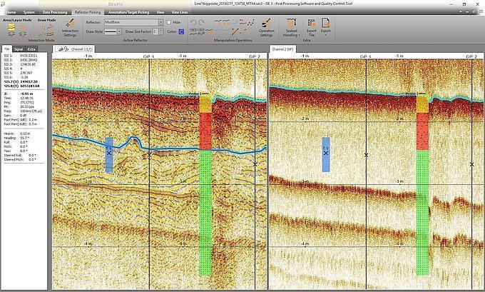
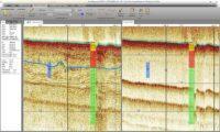
Processing of 2D Seismic Sections
• Processing of full-waveform and envelope data.
• Several visualisation modes and colour-mapping options.
• Various noise and spike removal filters.
• Options to correct gain, such as time-variable gain (TVG) and automatic gain control (AGC).
• Different options for (semi-) automatic bottom track.
• Corrections for vessel movements (heave, roll, pitch), tide/swell, static shifts and sound velocity.
• Picking and export of acoustic reflections from layers and targets.
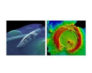
GIS Browser
• Handling of data in various coordinate systems and projections.
• Overlay of colour-coded bathymetry, sub-bottom layers, targets and ground-truthing onto charts, geo-referenced images and other GIS data.
• Calculation of crossing points between tracks and marking these positions in the 2D sections to assist quality assurance.
Applications
Site and pipeline survey.
Geophysical survey.
Geo-hazard and cable route survey.
Environmental survey.
Wind farm survey.
-
Teledyne CARIS HIPS and SIPS™: Hydrographic Data Processing Software
Survey Equipment -
QPS Qimera: Multibeam Data Processing Software
Survey Equipment -
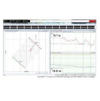
Geometrics MagLogLite™: Data Logger and System Controller
Survey Equipment -
HYPACK HYSWEEP®: Data Collection and Processing Software for Multibeam Sonar and Lidar Systems
Survey Equipment -
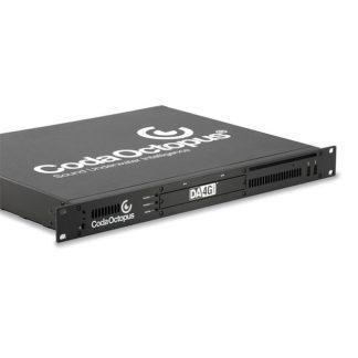
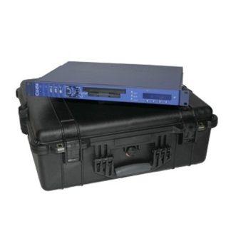
CodaOctopus DA4G™: Acquisition System
Survey Equipment -
QPS Qinsy: Survey Planning, Acquisition and Processing Software
Survey Equipment -
CodaOctopus DAseries™: Acquisition System
Survey Equipment -

Eiva NaviSuite Nardoa
Survey Equipment