
Applanix POSPac MMS® and Go!®: Hydrographic Data Processing Software

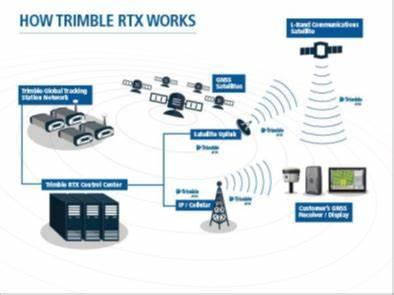
Applanix POSPac® Mobile Mapping Suite, now with Applanix POSPac Trimble Post-Processed CenterPoint® RTX™ (PP-RTX®), is the next generation, industry-leading software for Direct Georeferencing of mobile mapping sensors using GNSS and inertial technology. It is optimized for all environments and platforms (air, land, marine) and compatible with a variety of mapping sensors. This smart software solution achieves both maximum accuracy and maximum efficiency for Direct Georeferencing.
Features
Post-Processed Trimble CenterPoint
RTX trajectory processing (PP-RTX)
Automatic base station survey using static PP-RTX
“Know before you go” Quality Control licenses for checking GNSS data in the Field, ensuring accuracy specifications
are met before leaving the project area
New Floating license support – share a single license across a network or between computers
New User Interface
64-bit processing for faster throughput
Windows 10 support
RTCM 3.2 support
SmartBase database update
Specifications
Applications
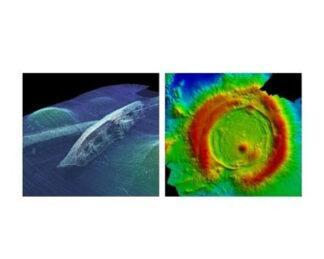
Hydrographic survey
Seafloor mapping
Harbour mapping
-
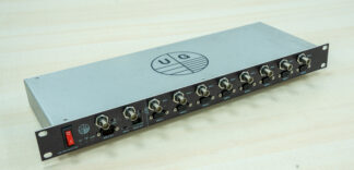
UG: Uni-PPS Splitter
Survey Equipment -
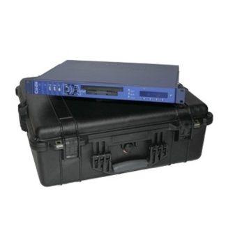
CodaOctopus DAseries™: Acquisition System
Survey Equipment -
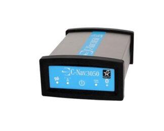
C-Nav3050: GPS/GNSS Receiver
Survey Equipment -

Sonardyne Compatt 6G®
Survey Equipment -
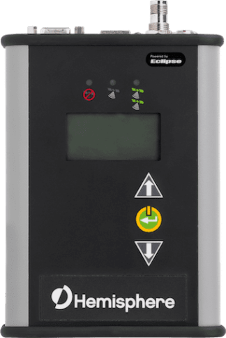
Hemisphere® R330: GNSS Receiver
Survey Equipment -
Eiva NaviSuite Nardoa
Survey Equipment -
Teledyne CARIS HIPS and SIPS™: Hydrographic Data Processing Software
Survey Equipment -
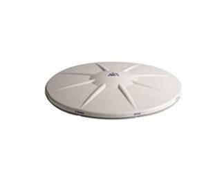
Trimble® Zephyr 2 Geodetic: Antenna
Survey Equipment