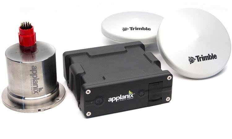
Applanix POS MV™ OceanMaster: Inertial Navigation System

The Applanix POS MV Oceanmaster GPS Inertial Navigation System blends GNSS data with angular rate and acceleration data from an IMU and heading from the GPS Azimuth Measurement System (GAMS) to produce a robust and accurate full six degrees-of-freedom position and orientation solution.
Features
Exceptional performance under all dynamic conditions.
Measures true heading, roll, pitch at all latitudes and dynamic conditions.
Provides almost instantaneous reacquisition of RTK following GPS signal loss.
Very low noise L1 and L2 carrier phase measurements.
Maintains heading accuracy in a high multipath environment and in areas of poor GPS availability.
Specifications
Rack Mount PCS: L – 442mm, W – 356mm, H – 46mm
GNSS antenna weight: 0.45 kg
Applications
Georeferencing solution for hydrographic survey
Seafloor mapping
Harbour mapping
-
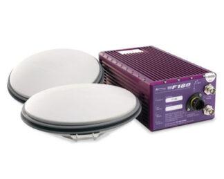
Coda Octopus F180® Series: Attitude and Positioning System
Survey Equipment -
Applanix POSPac MMS® and Go!®: Hydrographic Data Processing Software
Survey Equipment -
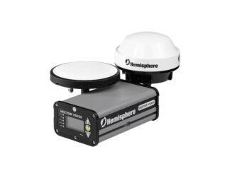
Hemisphere® Vector™ VS330: GNSS Receiver
Survey Equipment -
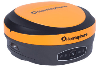
Hemisphere® S631: Multi-GNSS Smart Antenna
Survey Equipment -
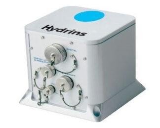
Exail Hydrins: Inertial Navigation System
Survey Equipment -
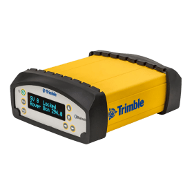
Trimble SPS855/852: GNSS Modular Receiver
Survey Equipment -
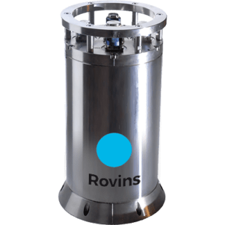
Exail (iXblue) Rovins: Inertial Navigation System
Survey Equipment -
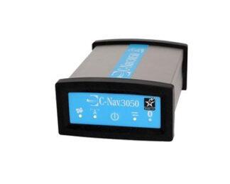
C-Nav3050: GPS/GNSS Receiver
Survey Equipment