
HYPACK HYSWEEP®: Data Collection and Processing Software for Multibeam Sonar and Lidar Systems

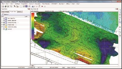
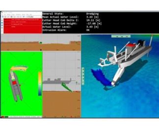
HYSWEEP® is the module for the collection and processing of multibeam, backscatter, LIDAR, water column data. HYSWEEP® requires a HYPACK licence. Tools for system calibration (Patch Test) make the set up simple to do. Online displays for real time CLOUD shows the system in operation.
Features
Acquisition of backscatter, intensity and water column from multibeam sonars can be done simultaneously with the sounding data
Complete software package for acquisition and processing
Tools for data analysis include CUBE, Wobble Analysis, Beam Angle Test
Export to ASCII XYZ, LAS, Matrix file and custom format.
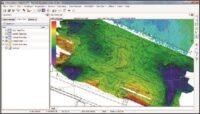
Data can be gridded to a dozen different methods, including average, mode, median, standard deviation and more
Specifications
The HYSWEEP® ’ Patch Test allows you to determine the exact mounting angles for your system in hours, not days.
HYSWEEP® SURVEY provides you with coverage diagrams, real-time TPU displays, and QC tools needed to efficiently complete your multibeam survey.
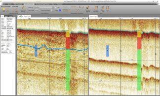
The HYSWEEP® Water Column Logger allows users to ensure that hard targets, such as wrecks, are fully detected, and to confirm the least depth in the water when fine features such as cables or masts may otherwise be missed.
GEOCODER™, licensed from UNH-CCOM, allows you to generate mosaics and perform bottom classification from average backscatter and snippet data.
Applications
Water column data analysis
Multibeam survey
Full detection of hard targets
Generate mosaics and perform bottom classification from average backscatter and snippet data
-
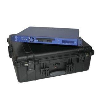
CodaOctopus DAseries™: Acquisition System
Survey Equipment -
QPS Qinsy: Survey Planning, Acquisition and Processing Software
Survey Equipment -
Applanix POSPac MMS® and Go!®: Hydrographic Data Processing Software
Survey Equipment -
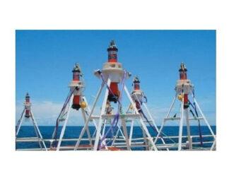
Sonardyne Compatt 6G®
Survey Equipment -
Innomar ISE Software
Survey Equipment -
Chesapeake SonarWiz: Processing Software Dongle
Survey Equipment -
QPS Qimera: Multibeam Data Processing Software
Survey Equipment -
Geometrics MagLogLite™: Data Logger and System Controller
Survey Equipment